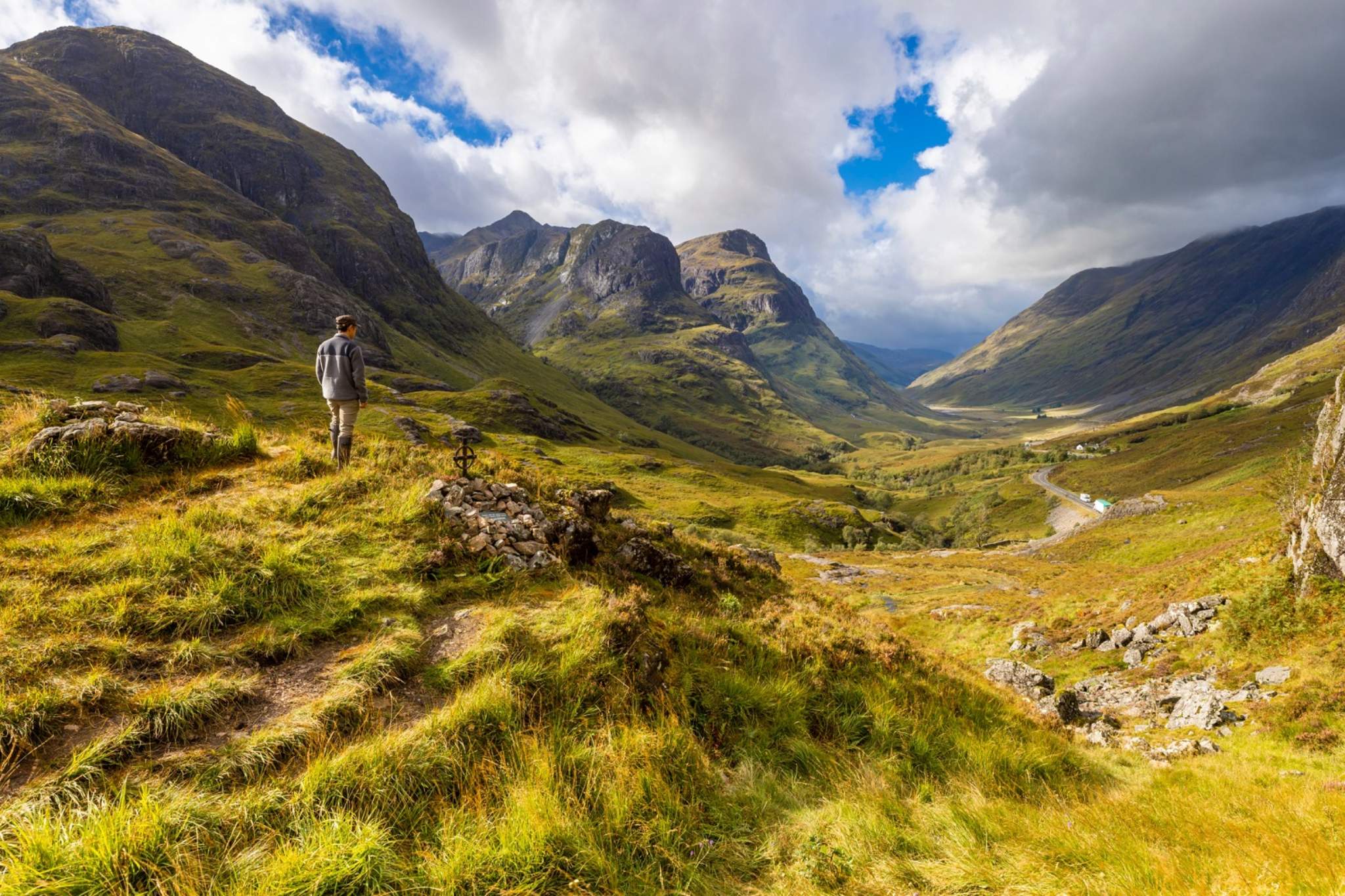
Rothiemurchus trail
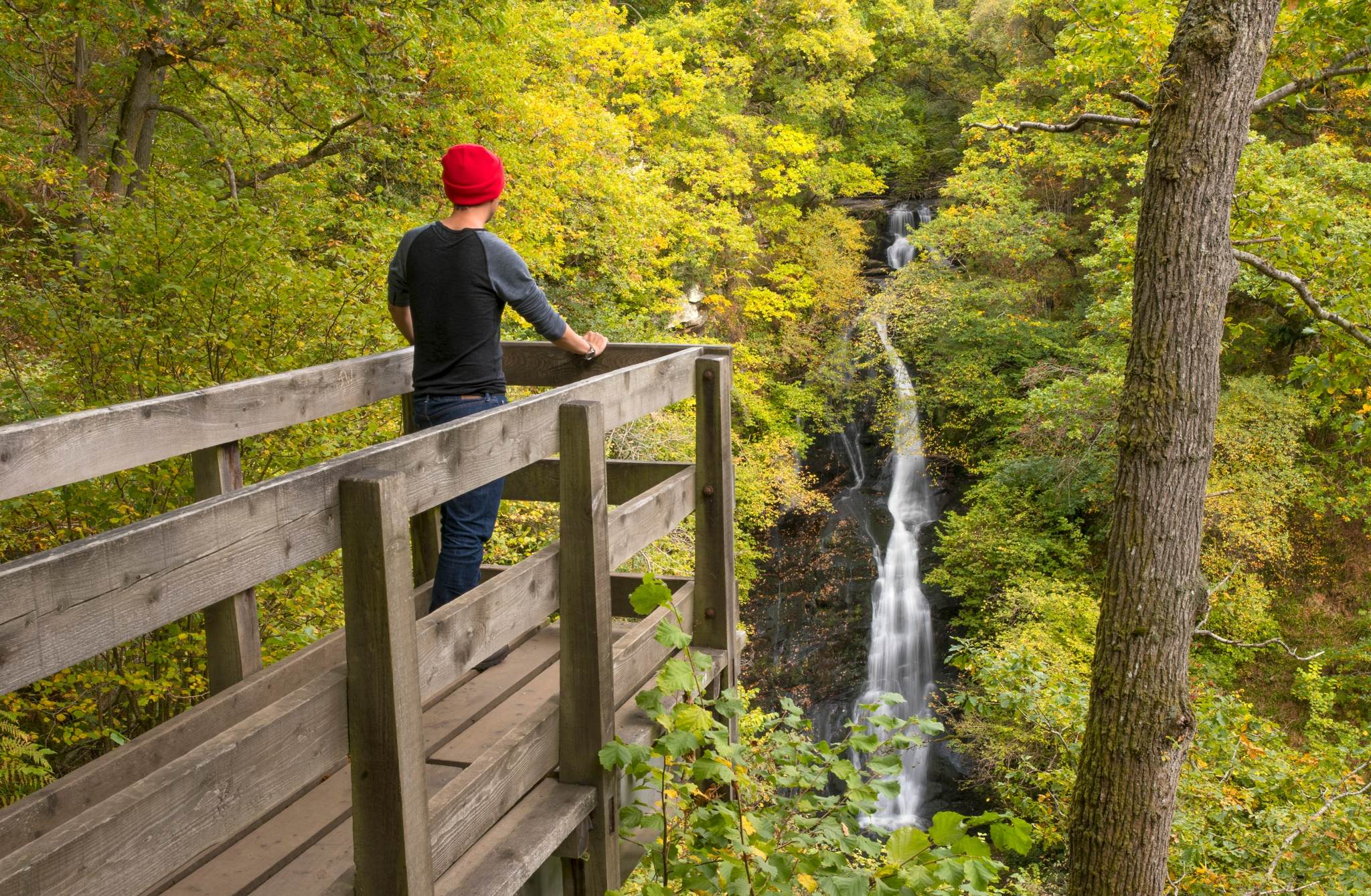
Magical forests and woodlands
Scotland's woodlands and forests offer a peaceful escape into nature. You’ll find a mix of ancient pinewoods, leafy oak forests and wild native woodland. They are home to a diverse array of wildlife and scenic trails, making them the perfect place to while away the hours and soak up Scotland’s natural beauty. Throughout the seasons, each one offers something special.
Spring – enjoy a gentle wander through The Trossachs to the sound of birdsong.
Summer – take shade from the heat at Rothiemurchus Forest, perfect for cycling, walking and wildlife spotting.
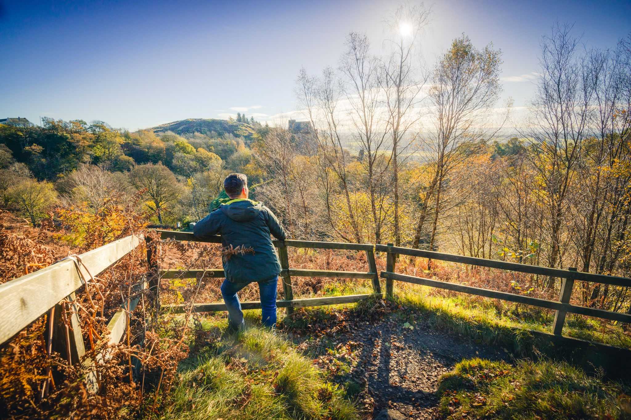
Autumn – watch the leaves transform into fiery reds and bright oranges at The Hermitage in Perthshire.
Winter – find yourself in a winter wonderland at Galloway Forest Park, known for its exceptional dark skies for stargazing.
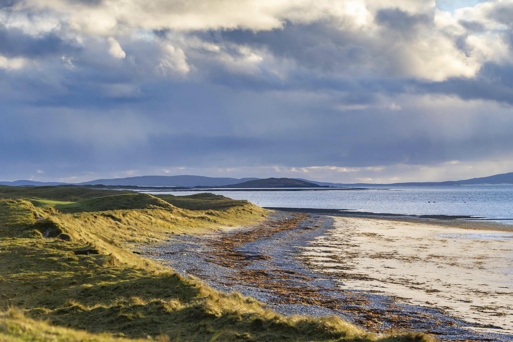
Uig Sands which lie on the south western side of The Isle of Lewis
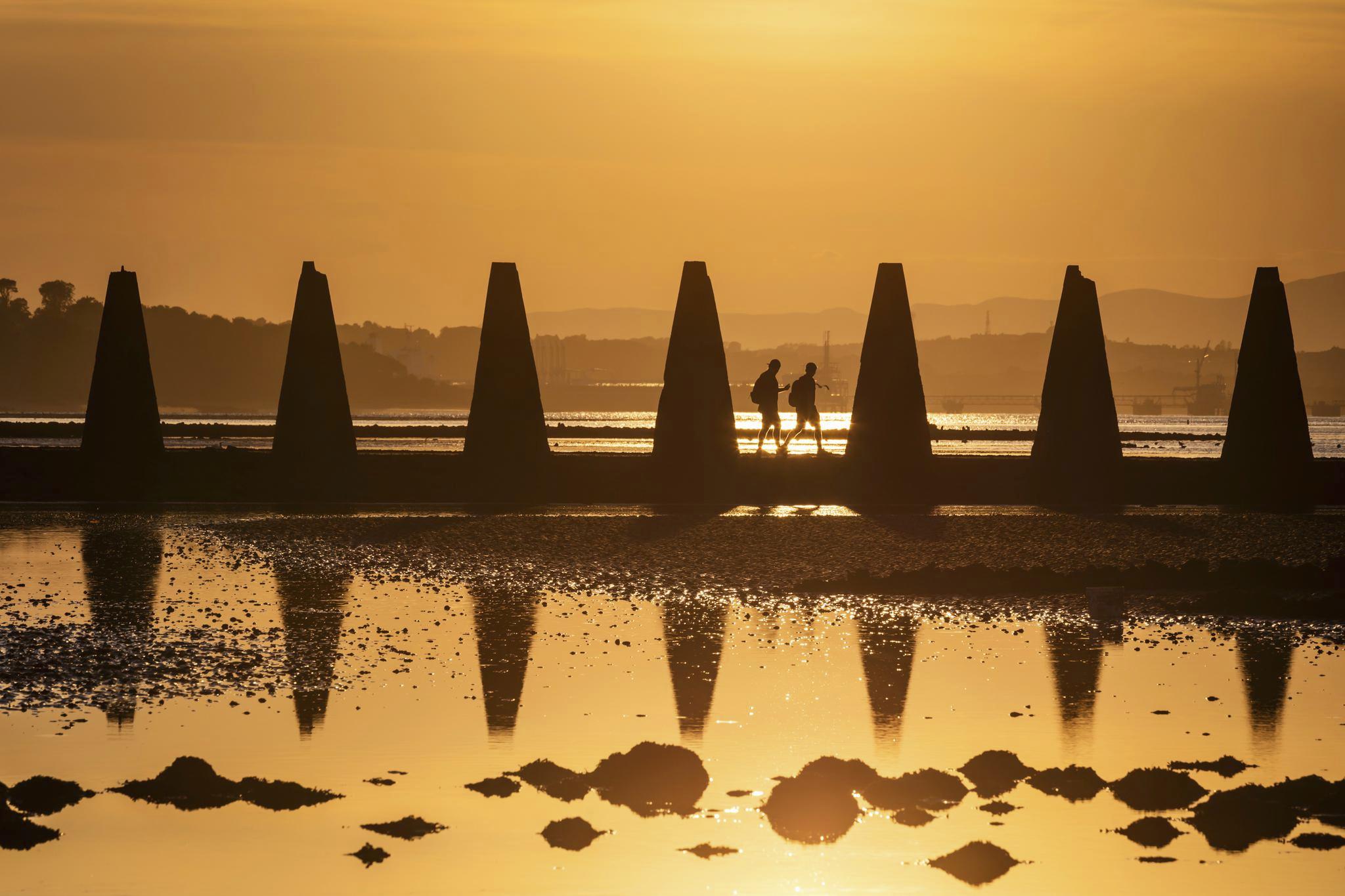
Stunning beach locations
Scotland’s beaches are incredibly varied and beautiful, each with a different feel and experience.
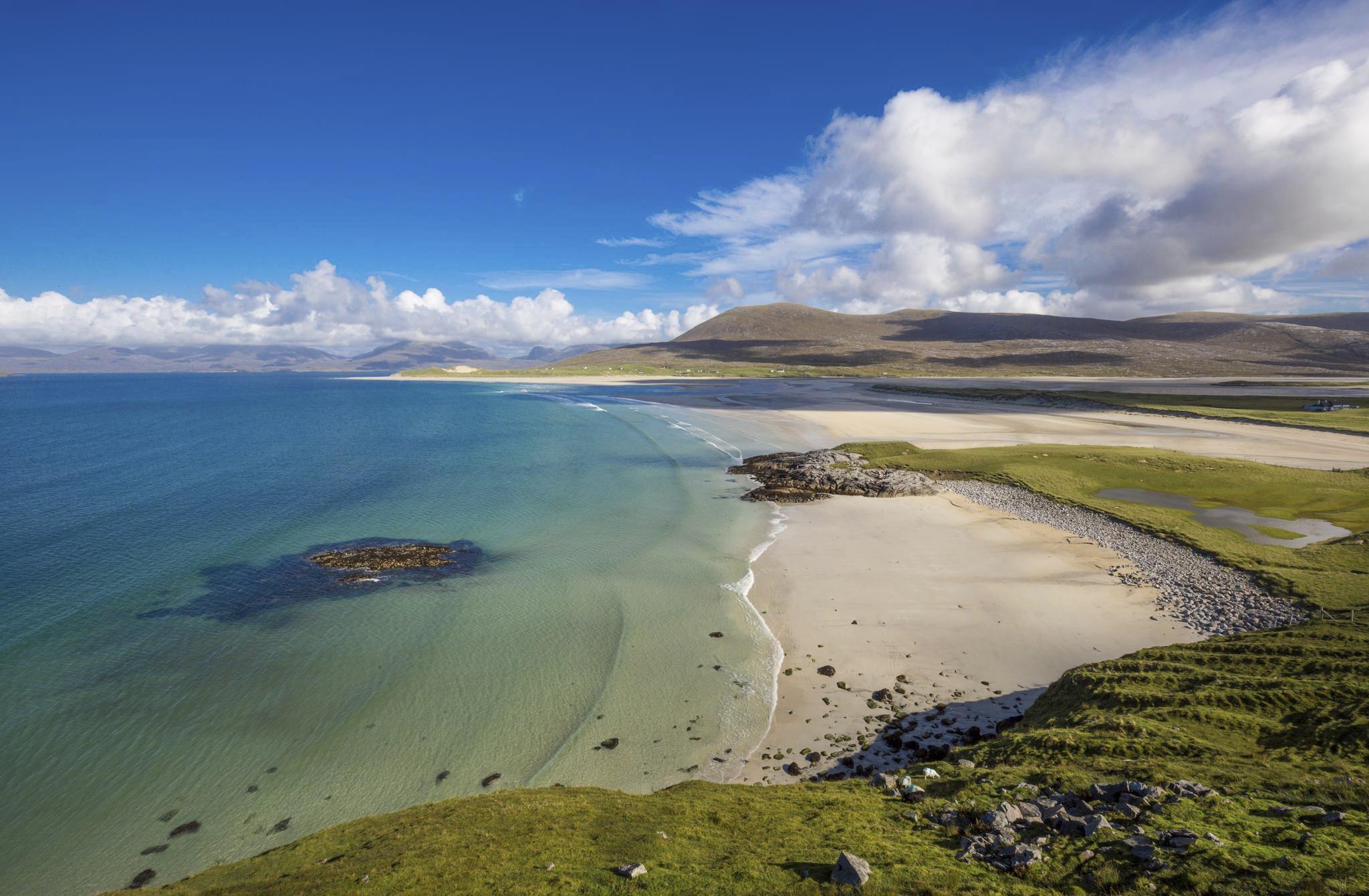
White sand beaches – in the Outer Hebrides, you’ll be introduced to soft white sands and turquoise blue waters. Enjoy panoramic views at Luskentyre Beach or end the day with a sunset walk along Uig Sands.
Wild and rugged beaches – often found in the Highlands and north coast of Scotland, these beaches offer dramatic coastlines with dunes, cliffs and crashing waves. Highlights include Sandwood Bay in Sutherland and Sango Sands in Durness.
Rocky and coastal beaches – swap soft sands for pebble shores at Dunnottar Castle in Aberdeenshire and St Abb’s Head in the Scottish Borders, offering incredible views and fresh sea air.
Sheltered sandy bays – these family-friendly beaches offer a sense of calm and can be found along the east and west coast of Scotland. Make the most of the Scottish sunshine in locations including Calgary Bay in the Isle of Mull, Elie Beach in Fife and Nairn Beach on the Moray Coast.
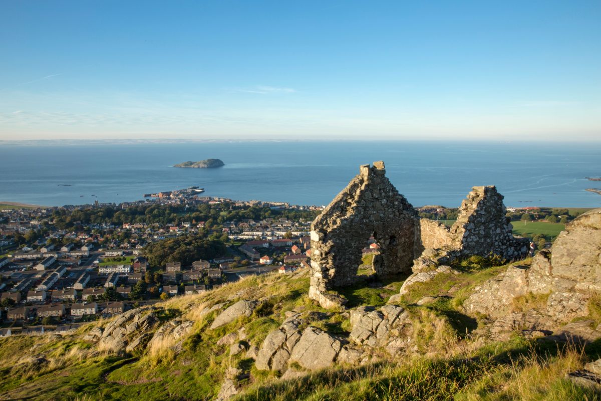
North Berwick Law
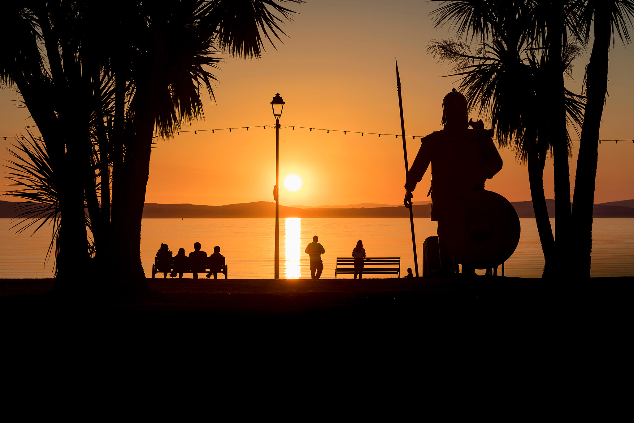
Peaceful seaside towns
Our Scottish seaside towns offer a sense of calm and unhurried pace of life. They offer a change of scenery from everyday life with beautiful coastal views, walks and delectable seafood bites as you slow down and breathe in the fresh sea air. Pittenweem in Fife, North Berwick in East Lothian, Tobermory on the Isle of Mull and Ullapool in Wester Ross are just some of the gems you can experience while holidaying in Scotland.