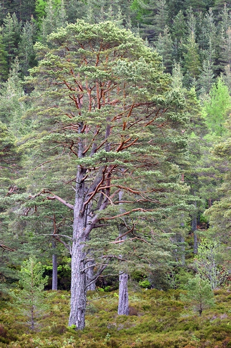
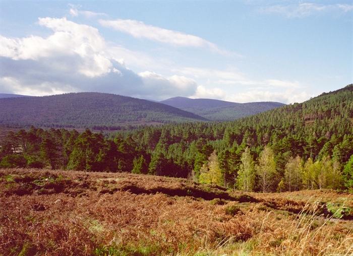
Glen Tanar National Nature Reserve
Whether you come to watch the wildlife, walk in the woodland or engage in more active pursuits, there's something for everyone at Glen Tanar. Choose from a range of waymarked paths, picnic areas by the river or viewpoints with benches. There are also opportunities for fishing, mountain biking, horse riding and bird watching.
Richtungen
Wegbeschreibung
From Ballater:
Drive east along the A93 to Dinnet; turn right onto the B9158, crossing Dinnet bridge, then left after crossing the river onto the B976; after three miles turn right at the Bridge and Tower of Ess into Glen Tanar. Follow the road to the reserve car park.
From Aboyne:
Cross the River Dee at Aboyne Bridge (heading south) and turn right onto the B976. After one mile, turn left at the Bridge and Tower of Ess into Glen Tanar. Follow this road to the reserve car park.
Öffentliche Verkehrsmittel Wegbeschreibung
By Public Transport: The nearest bus stop is in Aboyne (3.7 miles), which is serviced by buses from Aberdeen, Banchory and Ballater. The nearest train station is in Aberdeen (32.6 miles) on the Inverness - Aberdeen line.
By Bike: There are various options for arriving at Glen Tanar by bicycle, using a combination of off-road routes and quieter roads.
From Aberdeen, one option is to follow the Deeside Way (www.deesideway.org) from Aberdeen to Banchory. From Banchory, take the B974 via Strachan to Birsemore. Continue beyond Birsemore until a sharp bend, where the road crosses the Water of Tanar. Turn left immediately after crossing the bridge and follow this road for approximately 2.5 km. The Braeloine visitor Centre is on the opposite side of the river from the car park.
From Ballater, follow the Deeside Way to Dinnet. Turn right at the crossroads in Dinnet. Cross the River Dee and then turn left onto the B976. Continue on this road until the sharp bend where the road crosses the Water of Tanar. Turn right before crossing the bridge and continue as described above.'On Foot: The Aboyne to Ballater section of the Deeside Way is only 3 miles from the reserve. For more information and maps of the route, have a look at the Deeside Way website (www.deesideway.org.uk).
Einrichtungen
Der Inhalt vieler unserer Webeinträge wird von Drittanbietern und nicht von VisitScotland bereitgestellt. VisitScotland übernimmt keine Verantwortung für (1) Fehler oder Falschdarstellungen in den Einträgen Dritter und (2) den Inhalt externer Links innerhalb der Webeinträge ((1) und (2) zusammen im Folgenden als „Inhalt“ bezeichnet). . VisitScotland schließt jegliche Haftung für Verluste oder Schäden aus, die durch das Vertrauen auf die Inhalte entstehen. Der Inhalt wird nur zu Ihrer Information bereitgestellt und nicht von VisitScotland unterstützt.