BETA: The search and map are new features with further enhancements planned. VisitScotland is not responsible for the content of external links and accepts no liability for any reliance on these.
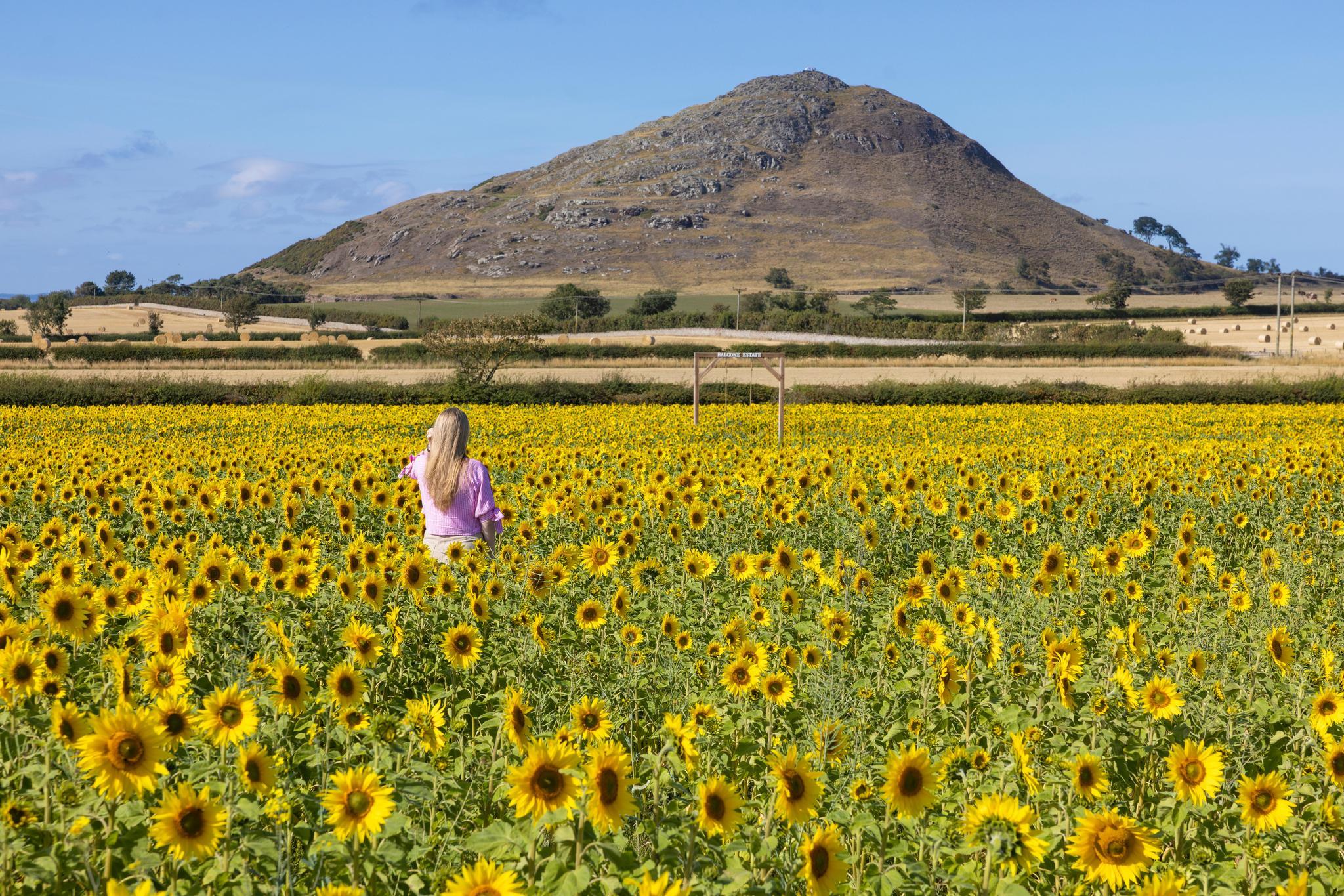
Balgone Estate Sunflower Trail, East Lothian
Things to see & do in Scotland
What unique and incredible things do you want to do in Scotland? Let the kids learn new stories in amazing attractions, take your friends to a new festival or spend some time relaxing at stunning nature spots. There are a million memorable things to do, from the world's only UNESCO Trail to exhilarating mountain biking trails and watersports.
Top things to do and experience in Scotland
Tourist attractions in Scotland
Find information and ideas on great Scottish attractions and days out in Scotland, including castles, museums, galleries, wildlife parks.
Family holidays in Scotland
You'll wish your family holiday in Scotland could last forever...

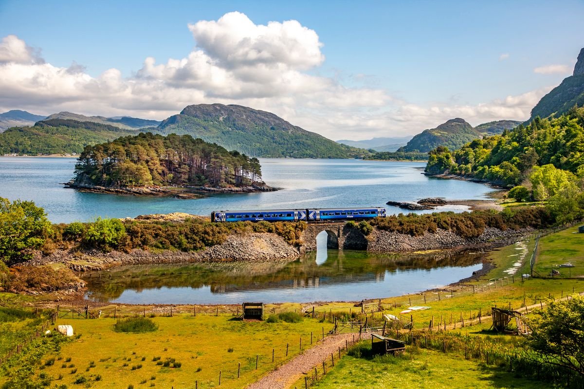
Scotland's landscapes, scenery & nature
Explore our ancient pine forests, arctic landscapes, coastal meadows and more.
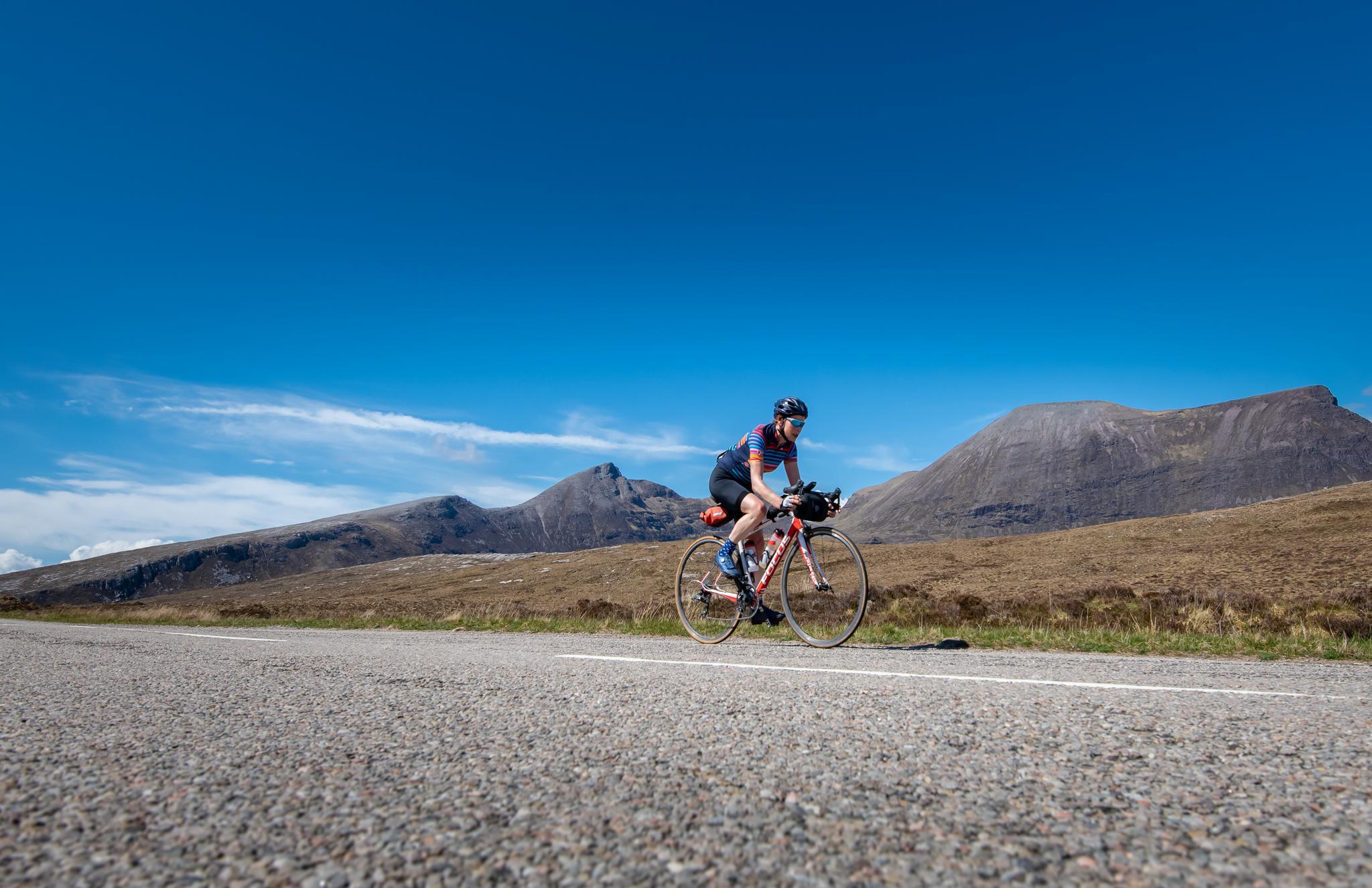
Fun outdoor activities in Scotland
From golf to Munro bagging, explore a wide range of activities in Scotland's great outdoors.
UNESCO World Heritage Sites
The first country in the world to bring together 16 UNESCO sites into one trail. Are you ready to discover the wonders within?
Captivating Scottish events
Events & festivals in Scotland
There's something happening in Scotland right now that the whole family will love.
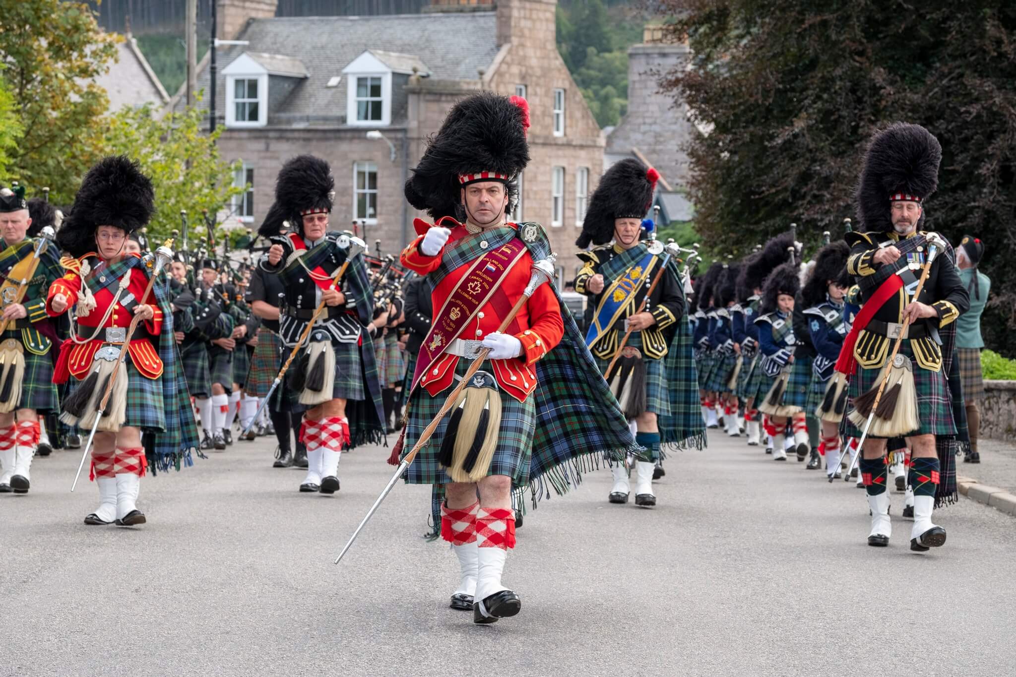
Highland games in Scotland
From the tug o' war to the caber toss, Scotland's Highland games are not to be missed.
22 Scottish Music Festivals in 2026
Find out more about music festivals throughout the year including summer festivals, celebrating traditional music, pop, rock and alternative genres.
Wellness retreats
Slow down your travels, soak up the captivating Scottish scenery, and escape the stress of modern day life on a relaxing trip to Scotland.
Delve into more of Scotland

9 Iconic Scottish spots with hidden gems nearby
Nothing beats being able to visit a place heard lots about. Get more than what you bargained for at some of our most iconic spots.
Experience & research your ancestry in Scotland
Discover Scotland like your ancestors would have done, follow in their footsteps and uncover fascinating history and captivating stories.
Scotland's bucket list ideas
Explore some of Scotland's most unique and interesting bucket list ideas.
9 of Scotland's most inspiring spots
Spark your own imagination with our list of inspiring spots across Scotland that have influenced some of the world’s greatest stories.
Plan your trip
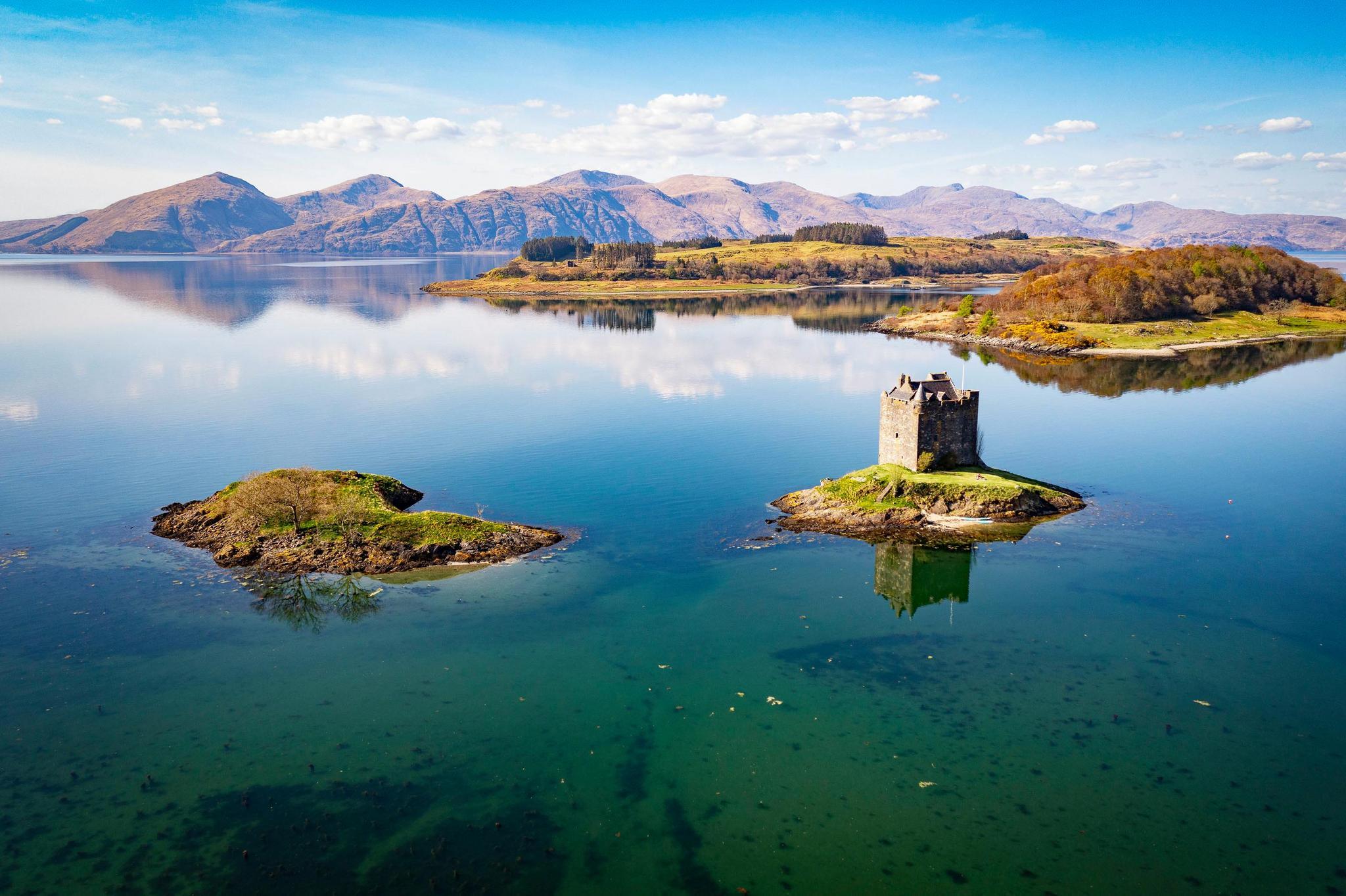
Cawdor Castle and Gardens
© VisitScotland / Kenny Lam
Tours, itineraries and more
Embark on a fascinating tour, follow an itinerary, tuck into local delicacies and dishes, and explore the best passes and offers along the way too.
Other things you might like
Shopping in Scotland
Inspiring Scotland travel blogs
Free attractions
10 Hidden gems & things to do on the isles of Mull & Iona
Places to go in Scotland
Top tips for travelling to Scotland
Join our Newsletter Clan
Get Scotland inspiration direct to your inbox. Don't miss the inside track from our Scotland experts on exciting trip ideas, unique attractions and hidden gems loved by locals.