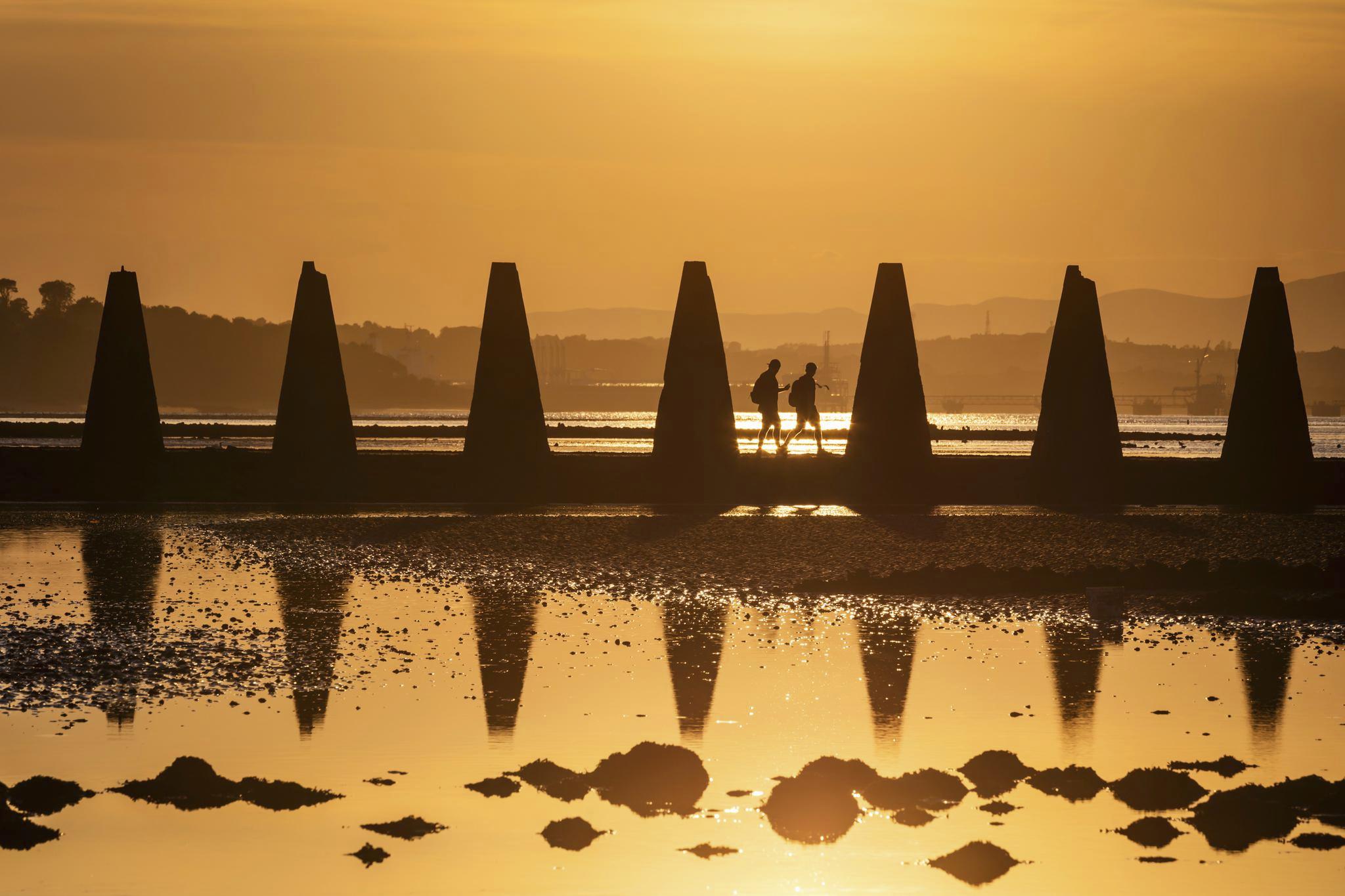
Cramond Island causeway at sunset
© VisitScotland / Kenny Lam
Things to see & do in Scotland
Adventure, culture, time to unwind – Scotland delivers. From unforgettable family-friendly attractions to buzzing festivals and epic nature escapes, there’s no shortage of incredible and unique things to do, including the world’s only UNESCO Trail, thrilling mountain biking and action-packed watersports.
Top things to do and experience in Scotland
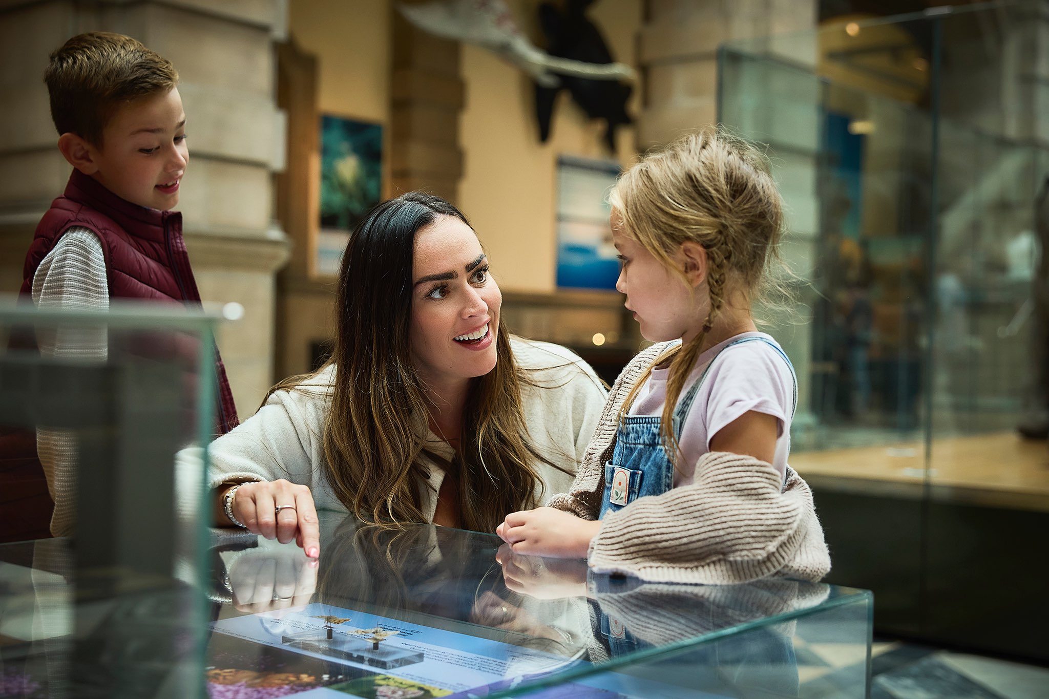
Tourist attractions in Scotland
Find information and ideas on great Scottish attractions and days out in Scotland, including castles, museums, galleries, wildlife parks.
Family holidays in Scotland
Find the best family holidays, breaks & getaways in Scotland. From weekend breaks with fun activities, to getting passes and offers for days out.

Scotland's landscapes and nature
Explore our stunning beaches, magical forests, impressive hills and more.
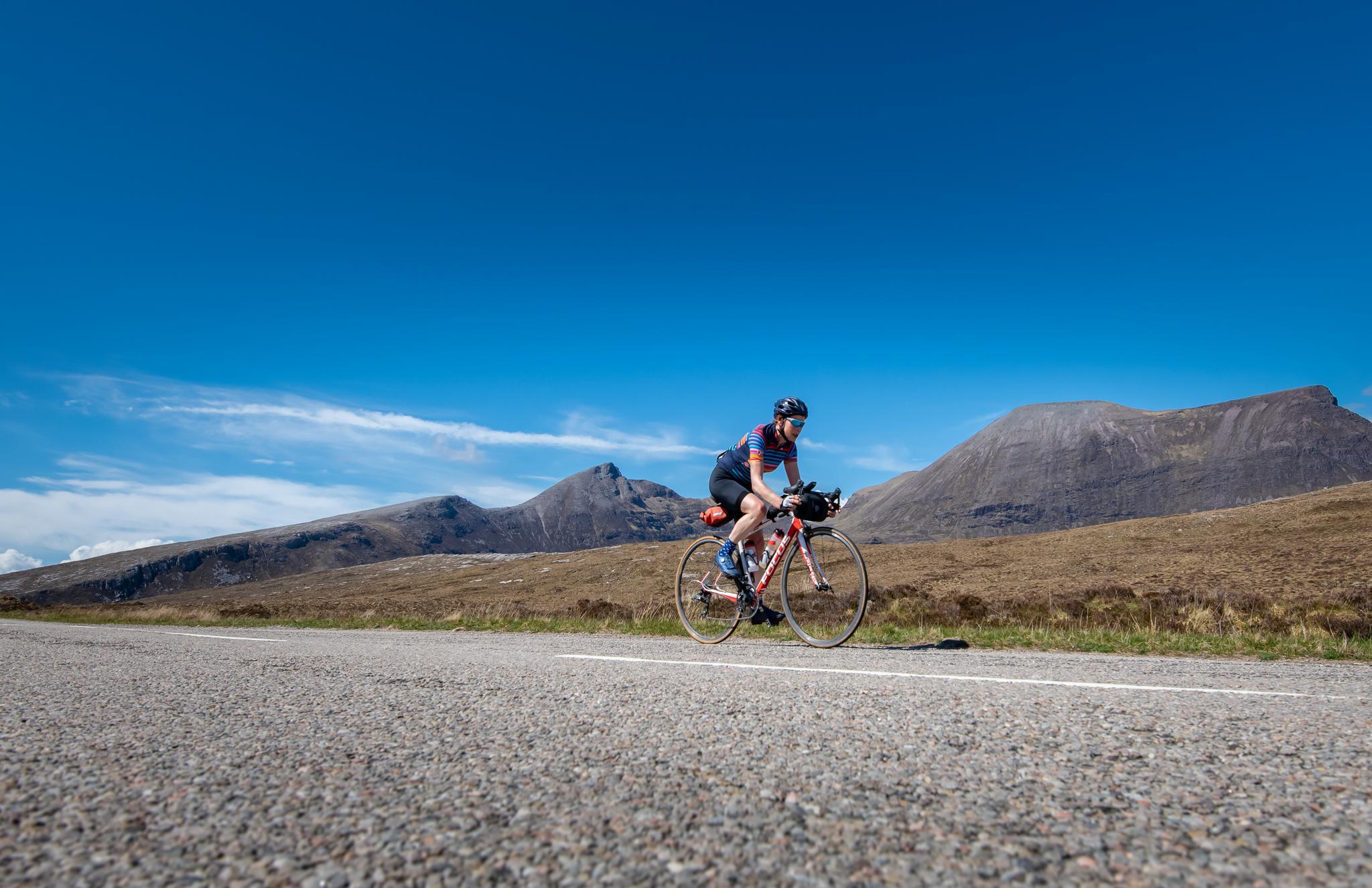
Fun outdoor activities in Scotland
From golf to Munro bagging, explore a wide range of activities in Scotland's great outdoors.
Captivating Scottish events

Events and festivals in Scotland
There's something happening in Scotland right now that the whole family will love.
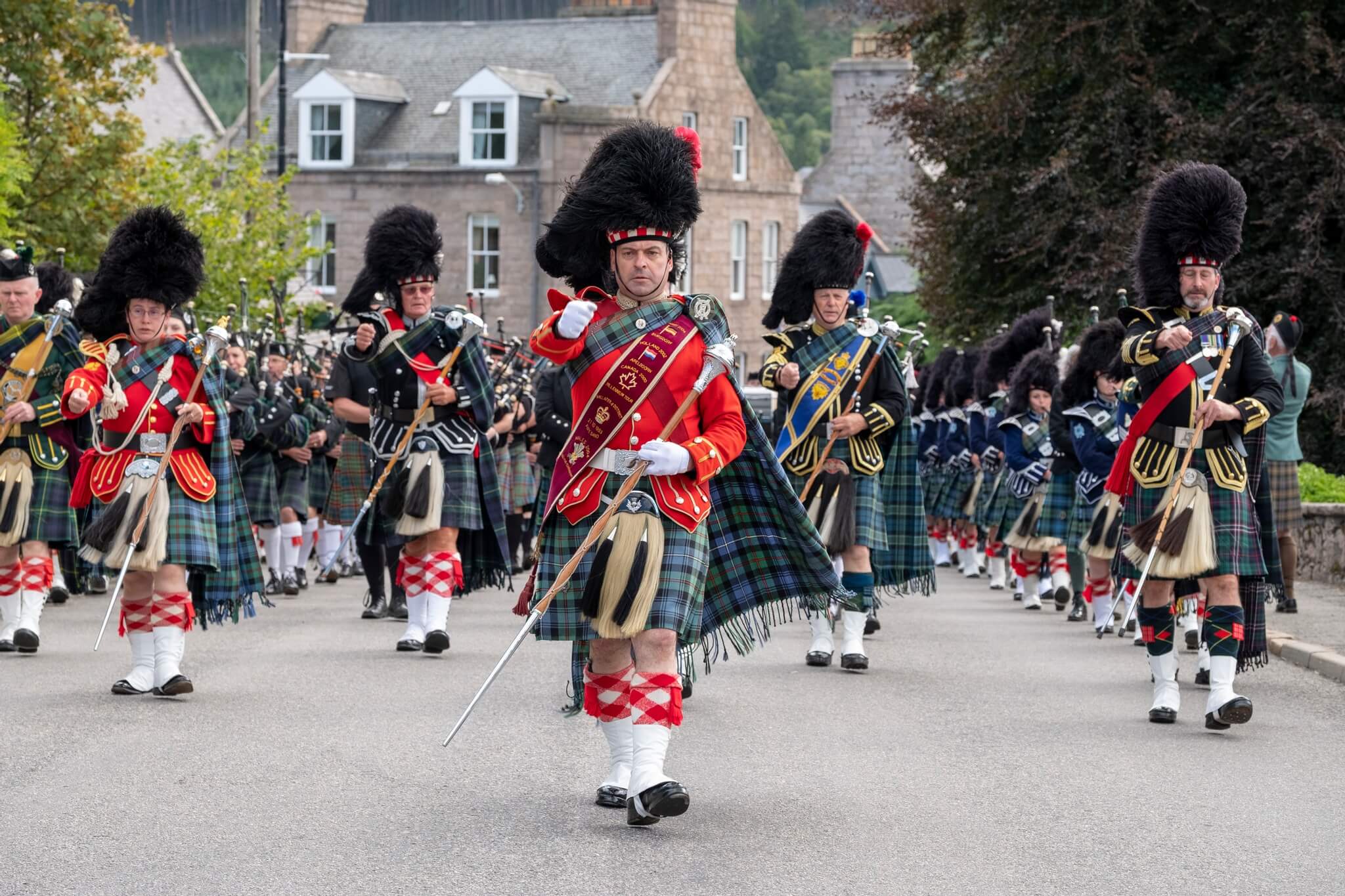
Highland games in Scotland
From the tug o' war to the caber toss, Scotland's Highland games are not to be missed.
Scottish music festivals
Find out what’s happening in Scotland this year
Delve into more of Scotland
Scottish clans and ancestry in Scotland
Discover Scottish clans and connect with your ancestors. Follow in their footsteps and uncover fascinating history and captivating stories.
Scotland's bucket list ideas
Explore some of Scotland's most unique and interesting bucket list ideas.
Plan your trip
Cawdor Castle and Gardens
© VisitScotland / Kenny Lam
Tours, itineraries and more
Embark on a fascinating tour, follow an itinerary, tuck into local delicacies and dishes, and explore the best passes and offers along the way too.